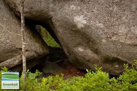
The Thompson Street reservation features exposed bedrock, vernal pools, woodland and swamp. There are traces of many trails that used to be wagon paths for early settlers to access their woodlots, but have since been overgrown with scrub growth due to numerous fires. Allowed activities: horseback riding, mountain biking, hiking, nature study, picnicking, snowshoeing.
Locations
Thompson Street Reservation
01930
Coordinates: 42° 38' 14.8668" N, 70° 42' 51.9732" W
Bray Street Gateway
Gloucester,
MA01930
Coordinates: 42° 38' 14.8668" N, 70° 42' 51.9732" W
See map: Google Maps
Thompson Street Reservation
01930
Coordinates: 42° 37' 23.1996" N, 70° 43' 29.8524" W
Mt. Jacob Cemetary Parking
Gloucester ,
MA01930
Coordinates: 42° 37' 23.1996" N, 70° 43' 29.8524" W
See map: Google Maps
Thompson Street Reservation
01930
Coordinates: 42° 37' 12" N, 70° 43' 26.4" W
Rt 133/Essex Street Entrance
Gloucester,
MA01930
Phone:
978.768.7241
Fax:
978.768.3286
Coordinates: 42° 37' 12" N, 70° 43' 26.4" W
See map: Google Maps
Thompson Street Reservation
01930
Coordinates: 42° 37' 58.8" N, 70° 43' 22.8" W
Bray Street/Old Thompson Street Entrance
Gloucester ,
MA01930
Coordinates: 42° 37' 58.8" N, 70° 43' 22.8" W
See map: Google Maps
Thompson Street Reservation
01930
Coordinates: 42° 37' 30" N, 70° 42' 36" W
Norcross Gateway
Gloucester ,
MA01930
Coordinates: 42° 37' 30" N, 70° 42' 36" W
See map: Google Maps
Email: